Downloaded 446 times


This document provides an overview of fractal antennas and their advantages for wireless communications. Fractal antennas can achieve multiband operation and miniaturization by utilizing fractal geometry which increases the effective antenna length while maintaining a small size. Specific fractal designs like the Koch loop and Sierpinski monopole and dipole are discussed. Fractal antennas have the potential to develop small, low profile antennas for applications like wireless communications.
Introduction to fractal antennas and objectives of the study on miniaturization techniques for wireless communications.
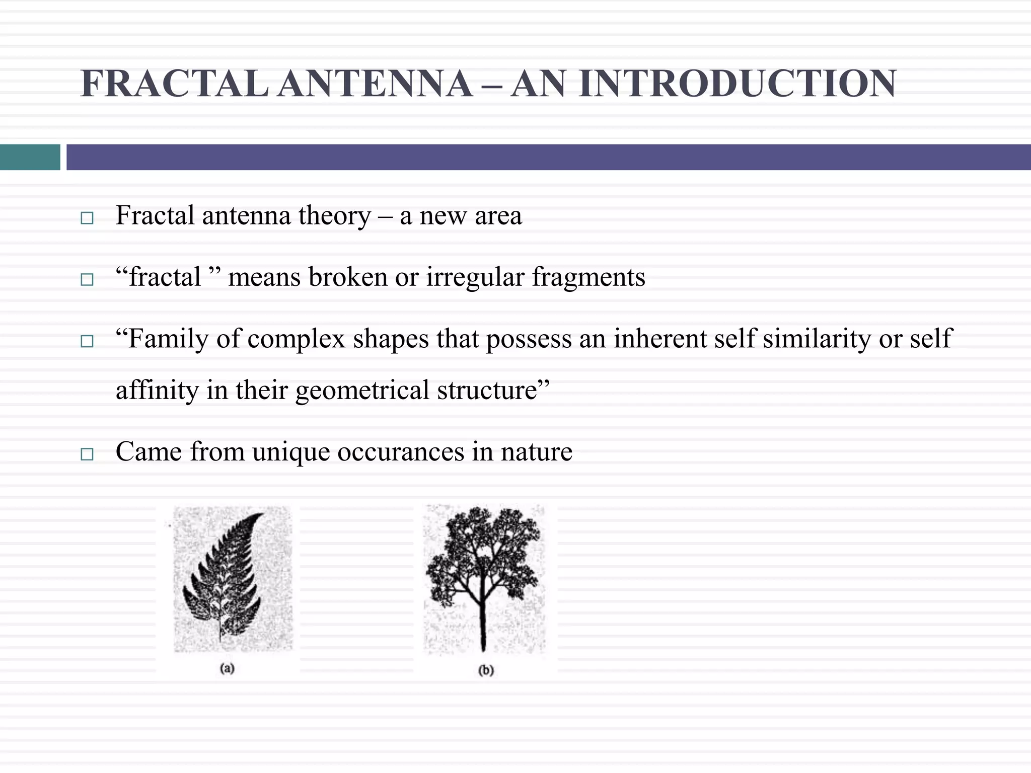
Discusses fractal antenna theory, its nature, and benefits such as multiband operation and miniaturization.
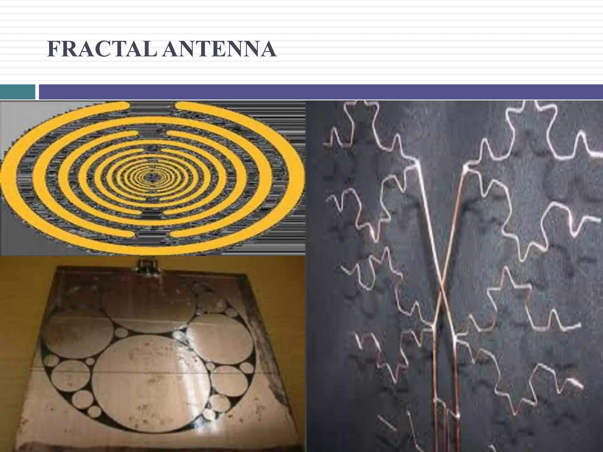
Describes the iterative mathematical process of fractal geometry used in antenna design with examples of specific fractals.
Visual examples of fractal structures like the Sierpinski and Koch fractals to exemplify theoretical points.
Explains how reduced length can lower resonant frequency through fractal geometry, achieving more compact antennas.
Describes how fractal antennas can operate on multiple frequency bands and the significance of current paths.
Details the advantages of fractal loop antennas regarding resonance and improved input impedance.
Explains the Sierpinski monopole and dipole, noting multiple bands and methods for predicting performance.
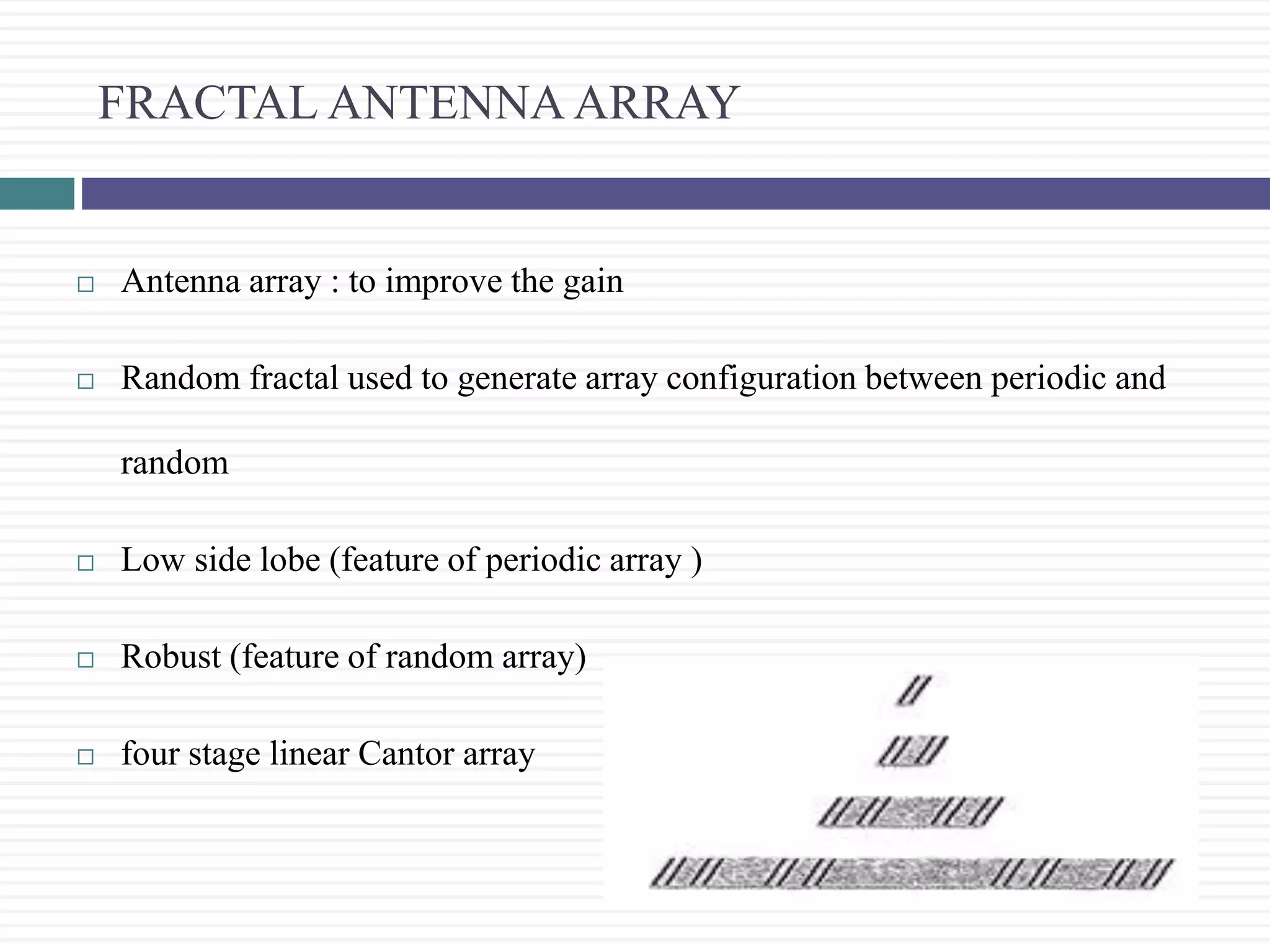
Discusses the configuration of fractal antenna arrays for improved gain and the features of periodic vs. random arrays.
Summarizes fractal antenna theory, highlighting potential developments in lightweight and compact antennas.
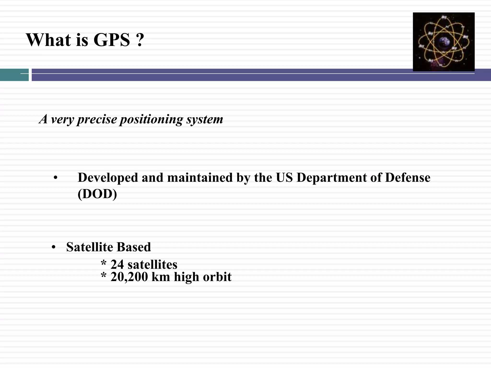
Introduction to GPS as a satellite-based positioning system and its potential issues due to misunderstanding.
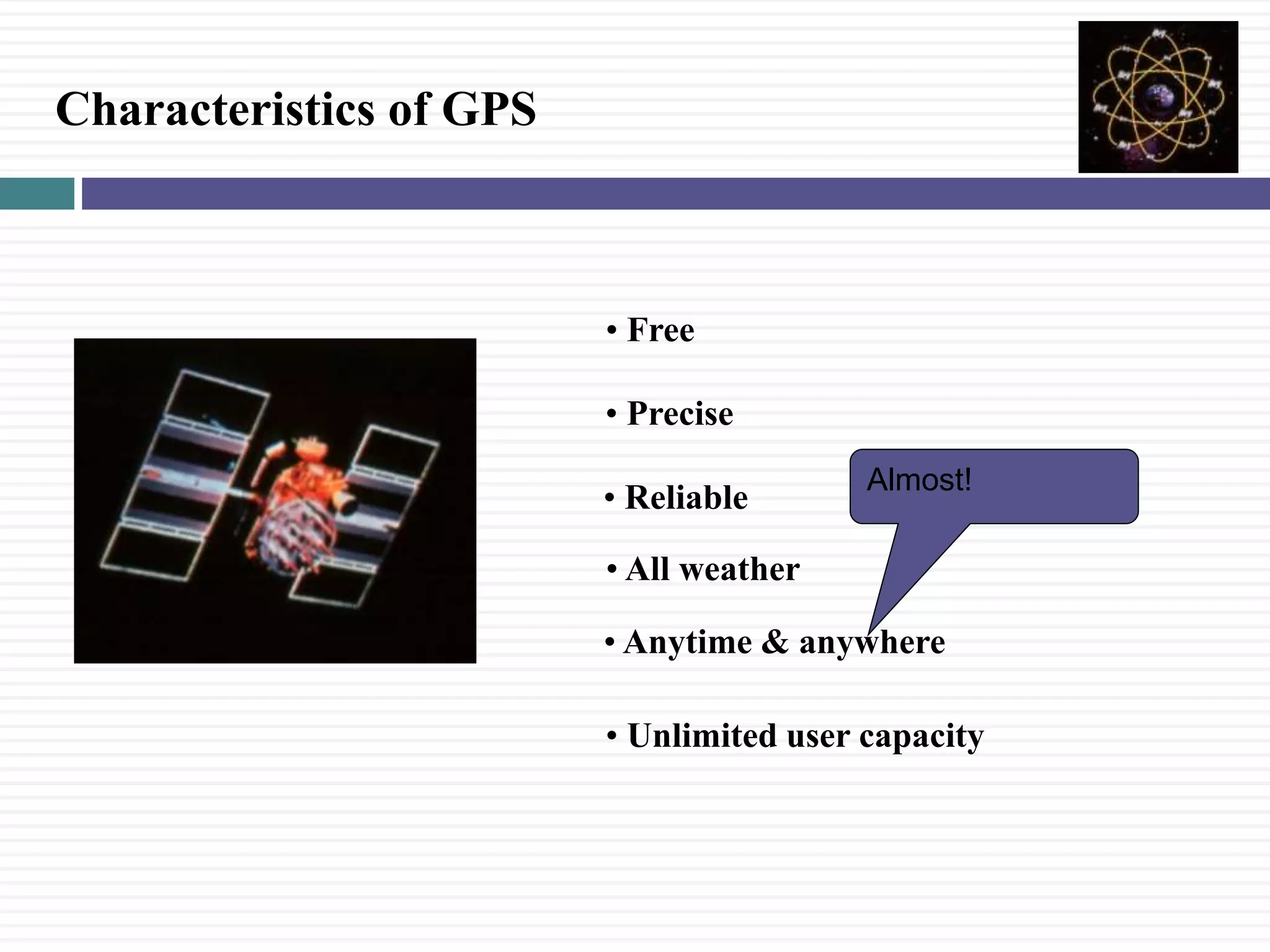
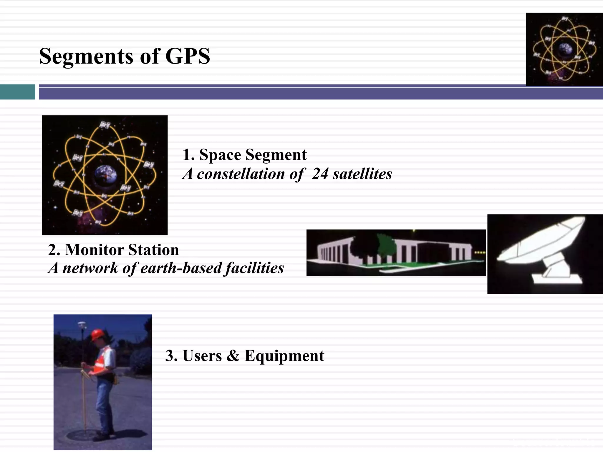
Overview of GPS features including being free, precise, reliable, and describing its components: Space, Monitor, and User segments.
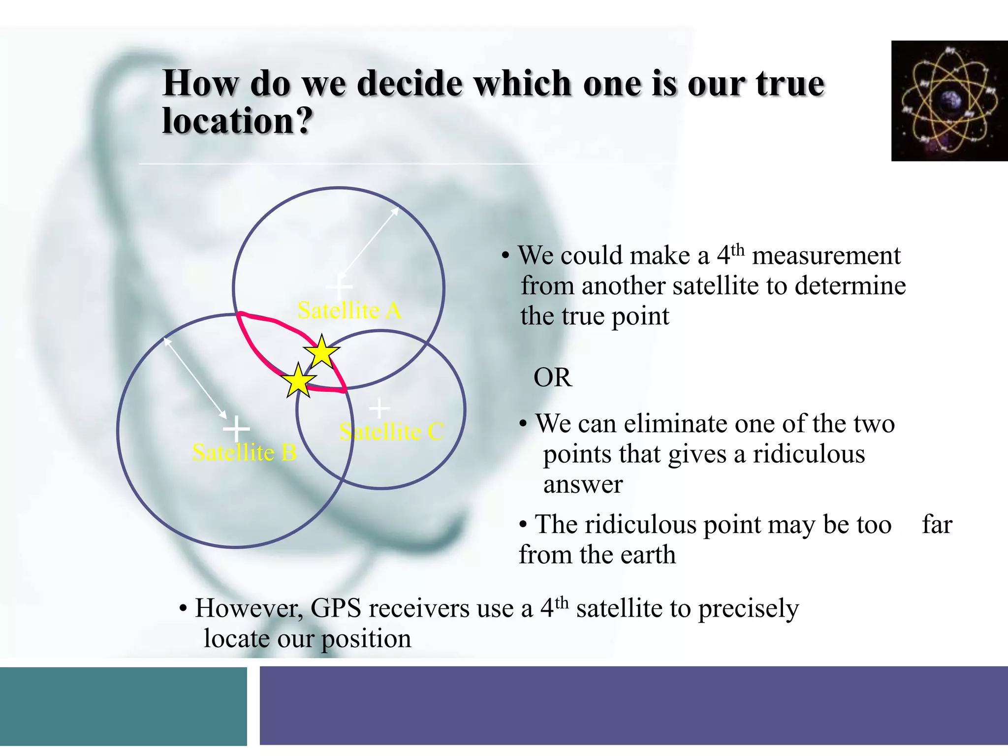
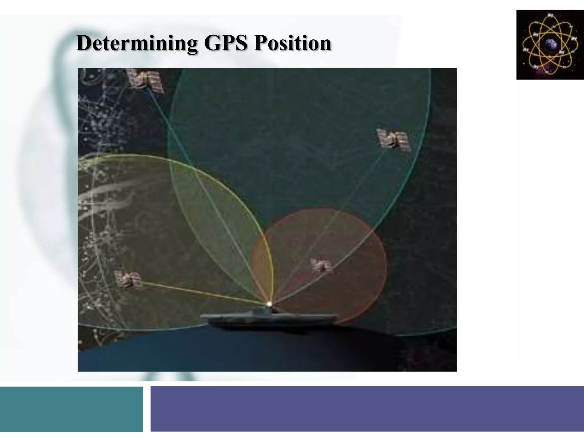
Mechanics of determining GPS positions using measurements from multiple satellites to narrow possible locations.
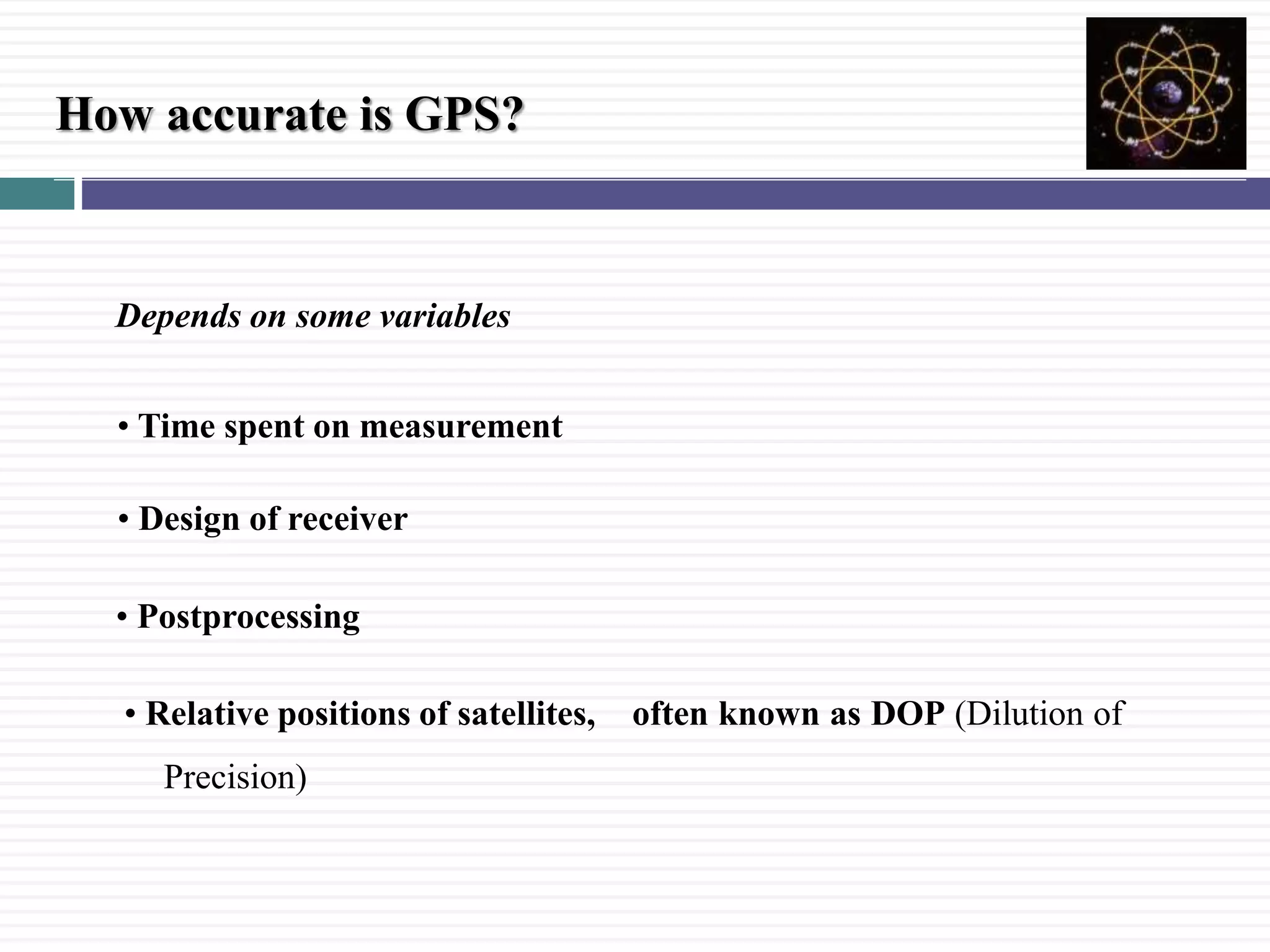
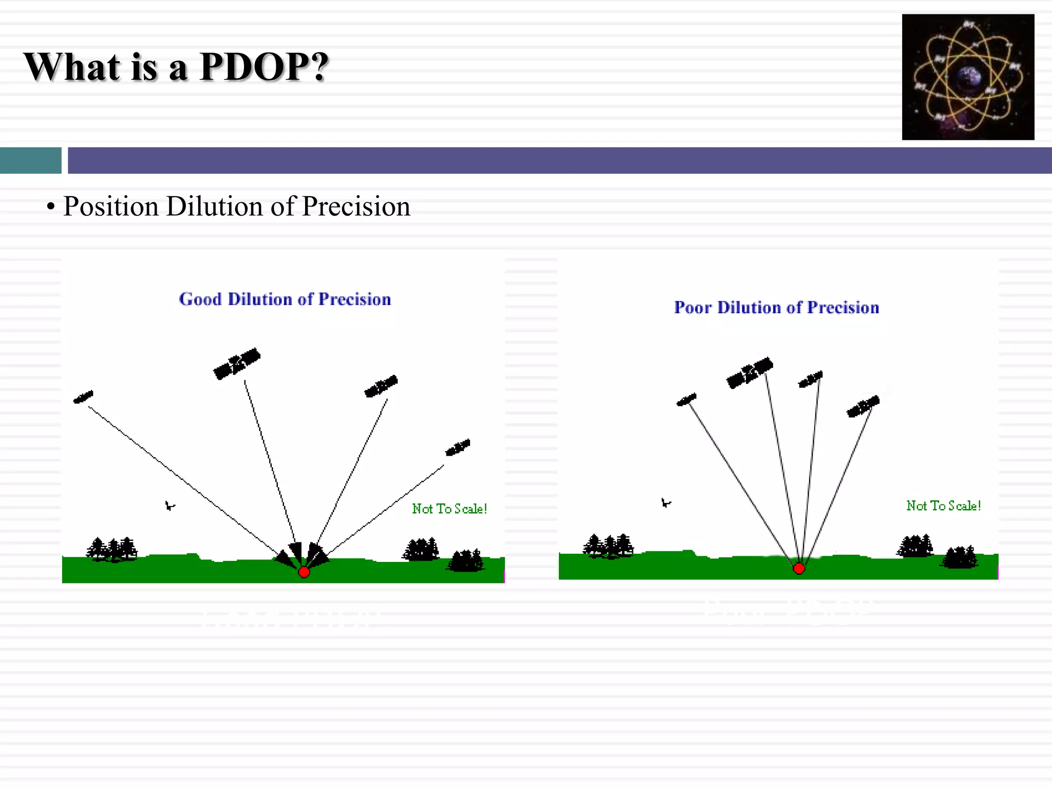
Discusses variables impacting GPS accuracy, including receiver design and satellite positioning known as PDOP.
Explains the Wide Area Augmentation System (WAAS) providing free differential GPS corrections for improved accuracy.
Identifies sources of errors affecting GPS such as PDOP, multipath effects, and SNR.
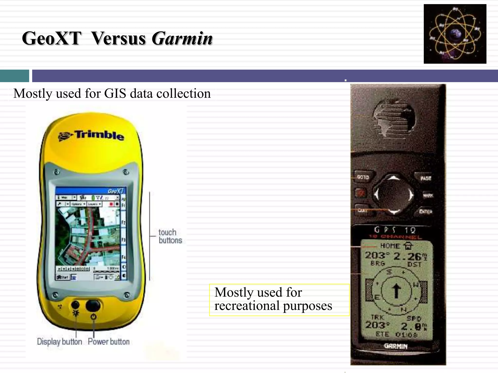
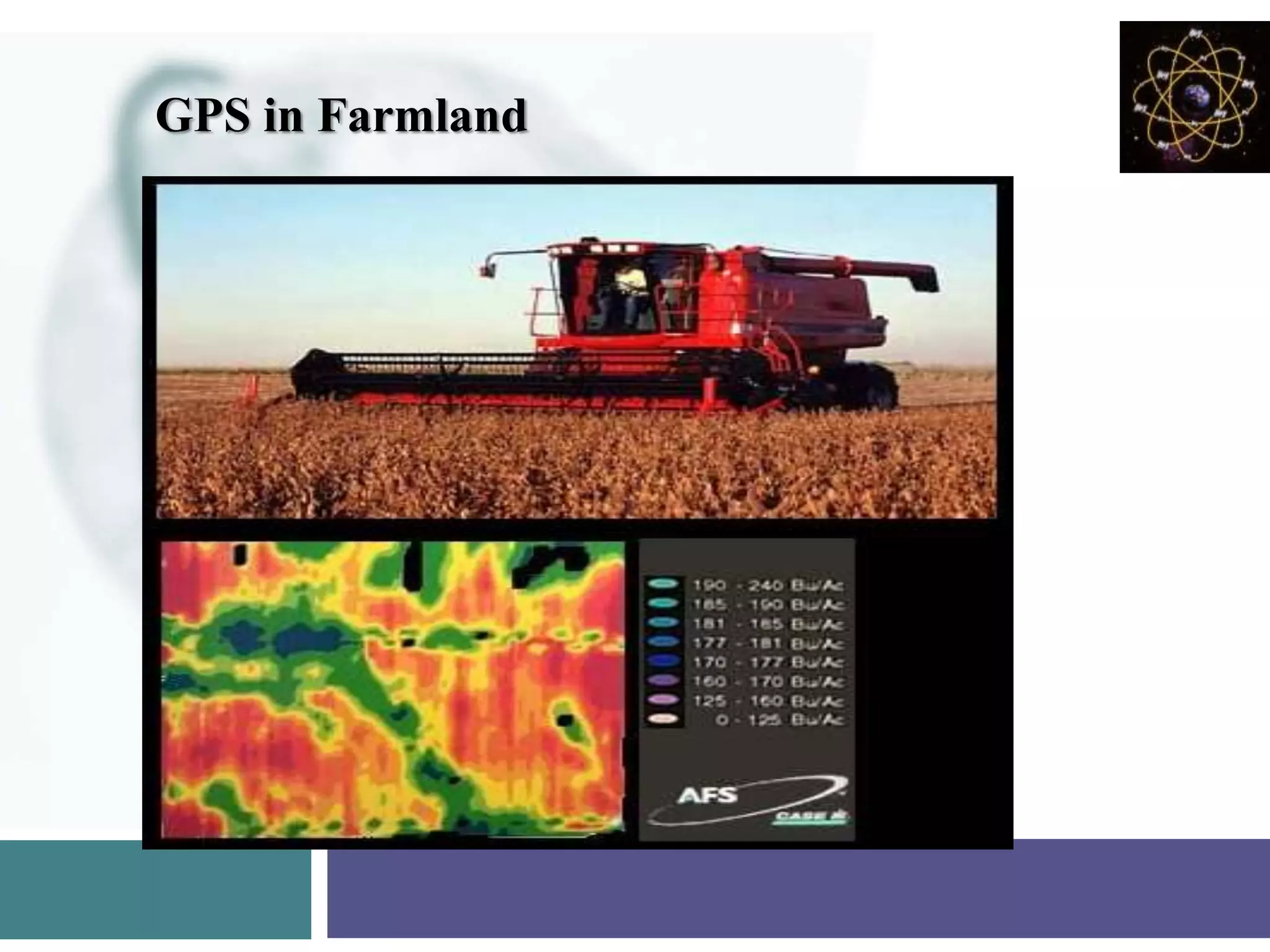
Common uses of GPS including navigation, GIS mapping, recreation, and future advancements in GPS technology.


![GPS[Global Positioning System]](https://cdn.slidesharecdn.com/ss_thumbnails/globalpositioningsystem-130707095218-phpapp02-thumbnail.jpg?width=640&height=640&fit=bounds)


